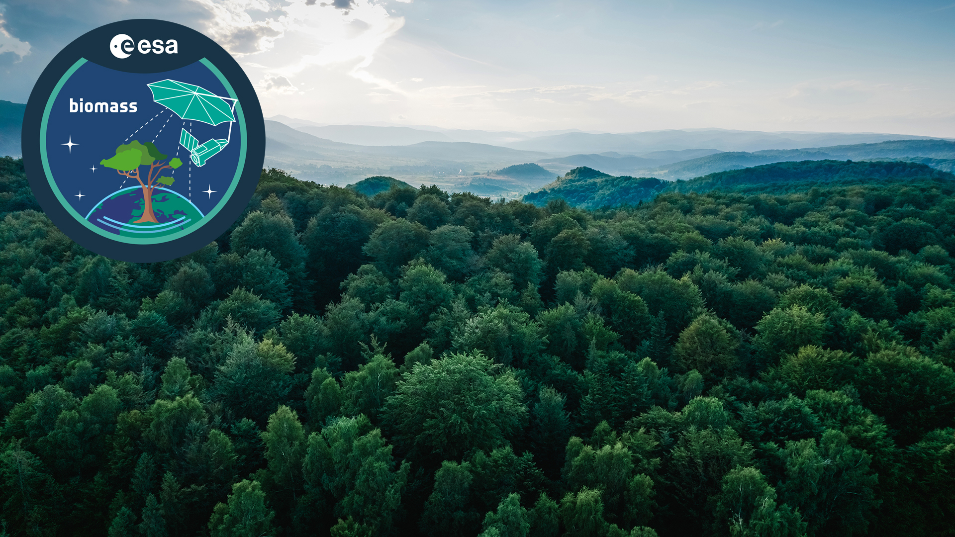
The European Space Agency (ESA) is set to launch its Biomass mission in 2025, providing more accurate measurements of forest biomass to enhance our understanding of the carbon cycle. We spoke to Biomass Project Manager, Michael Fehringer, to learn more.
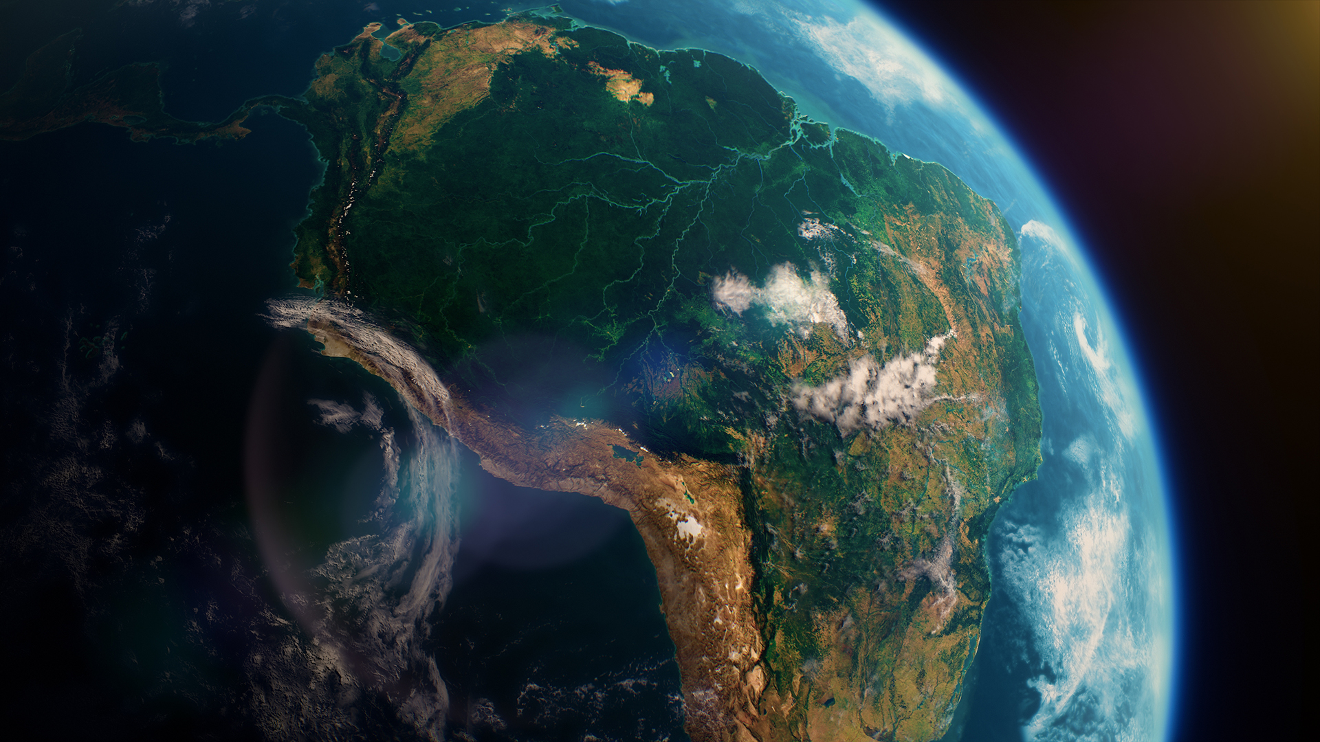
As a major carbon sink, forests play a crucial role in the carbon cycle and climate system. However, due to factors such as forest degradation and deforestation, much of this otherwise stored carbon is being released back into the atmosphere, causing a detrimental impact on the environment.
To understand the rapid changes that forests are undergoing, and therefore tackle the implications this has for our climate, quantifying the global carbon cycle is vital. However, current measurements of forest biomass are poor in many parts of the world. Using a novel measuring technique to deliver new information on forest height and above-ground forest biomass from space, the European Space Agency’s Biomass mission will collect important data to help reduce the major uncertainties in calculations of carbon stocks and fluxes on land.
The Biomass mission will consist of a single low-Earth orbit (LEO) satellite platform carrying a synthetic aperture radar (SAR) instrument. Mapping forest biomass from space is a huge technical challenge as forests are complex structures and different tree species and dense canopies make them difficult to measure from space. Biomass’ SAR instrument can ‘see’ through cloud cover and penetrate the canopy layer to allow the actual biomass of trees to be estimated.
The Biomass satellite has been designed and built by a consortium of more than 50 companies under Airbus UK as the prime contractor. The mission is scheduled to be launched in April 2025 on the Vega-C rocket from Europe’s Spaceport in Kourou, French Guiana.
Editor Georgie Purcell spoke to ESA’s Biomass Project Manager, Michael Fehringer, to find out how the mission will clear up questions surrounding forest biomass and the carbon cycle.
What is the Biomass mission and what is it designed to do?
The Biomass mission is part of the Earth Science Missions led by the Directorate of Earth Observation at the European Space Agency. In the Earth Science group, we build satellites that test novel technologies to determine whether they are good candidates for operational applications.
The Biomass mission is designed to offer insights into the carbon cycle and climate modelling. It is relatively known how many fossil fuels are consumed every year and how much CO2 is released into the atmosphere. However, what is less known is where all this ends up. The three possibilities are that it remains in the atmosphere, gets stored in the oceans, or is absorbed by plants – primarily in tropical forests. These three CO2 sinks are obvious, but it is difficult to determine how much CO2 goes to each sink. In particular, there are big uncertainties concerning the amount of carbon stored in forests.
One of the main objectives of the Biomass mission is to measure how much carbon is in forests. This is achieved by measuring tonnes of wood per hectare. Roughly, a kilo of wood equates to half a kilo of carbon. Another key objective is to measure the evolution of forests across the globe. In the first round of the mission, we will take a global map of Earth and measure how much carbon is there. Around seven months later, we will take another measurement and determine the changes over this time. We will see where there has been growth or loss due to deforestation and other causes.
Can you explain more about the preparatory phase for the mission? How long has it been in the works? Have you encountered any challenges and, if so, how have they been overcome?
This type of mission sits within the group known as ‘Explorer Missions’, which use technology specifically developed for these missions. As this technology has never been flown before, these developments unfortunately take time.
The history of Biomass goes back to 2005 when the science community proposed the mission as one out of six candidates to be studied for implementation. Biomass won that competition in 2012. Detailed industrial design work was then undertaken with two European consortia, and the contract to build the satellite was finally awarded to Airbus in early 2016.
We have faced a number of technological problems, predominantly related to the instrument. It is a radar instrument which needs a strong and very complex radar pulse and, therefore, a power amplifier. The power amplifier and the instrument control unit were difficult to develop, leading to delays.
The whole process was hindered by COVID-19. We were starting to test the engineering models, which were developed and tested before we built the flight models, when COVID happened. People should have been in the laboratories, but the COVID lockdown meant that attendance was low. In total, COVID cost us around a year in delays.
Recently, we also suffered from the launcher problem in Europe. However, now things are running smoothly again and we are ready to launch with Vega-C.
What will happen following the launch?
Immediately after launch, there will be a very intense few days to start up the satellite. This will be followed by a six-month ‘commissioning’ phase where the systems are checked, operated, and data is acquired.
We will then look at the data and calibrate the instrument, validating the results against the ground truth. There are sites, mainly in tropical areas, where people on the ground take thickness and height measurements from tree to tree to provide an estimate of how much wood is on site. We will fly over these sites and conduct our algorithm runs to achieve a result, which we then compare to the ground truth measurement. Eventually, we adapt our algorithms if needed.
One very time-consuming part of this six-month phase relates to the radar beam. The radar beam is about 60km in diameter and should ideally be very homogeneous. To measure this, we fly over a calibration unit on the ground 20 times. This presents a good idea of what the beam looks like. We only see the radar beam every three days, so it takes 60 days to get a very detailed characterisation of it.
After six months, my team and I, along with industry, will demonstrate our achievements to independent reviewers to show how the satellite, instrument and algorithms work. Following this, we will hand over to the people operating the satellite.
Please note, this article will also appear in the 21st edition of our quarterly publication.