James Conlin, Product Manager at Sharper Shape, discusses cutting-edge solutions that enable utilities to overcome power grid vulnerabilities imposed by climate change.
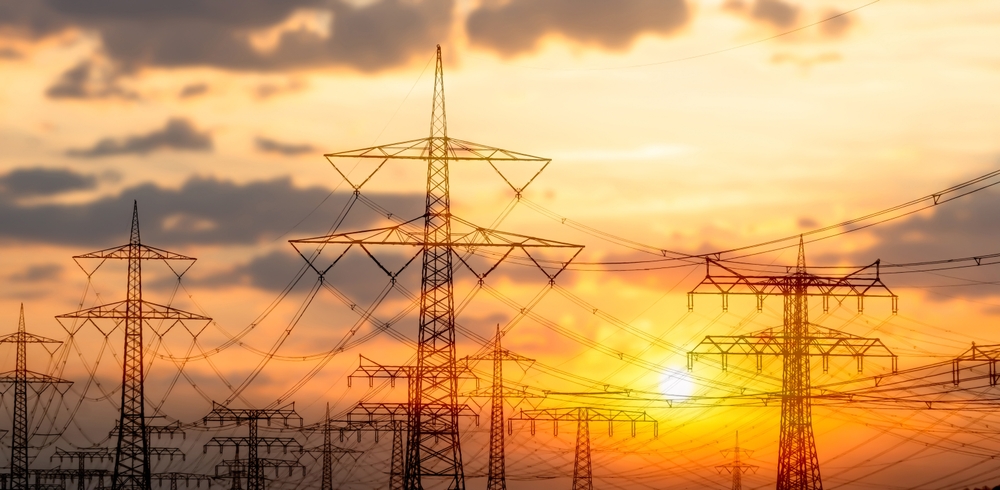
The global power grid is facing unprecedented challenges as climate change intensifies. With the increasing frequency of extreme weather events, understanding and addressing power grid vulnerabilities has become a critical priority.
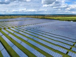
The infrastructure, including power lines and poles, is susceptible to various environmental stresses such as wind, heat, and wildfires, which can significantly impact its reliability and resilience. A recent report from Bloomberg highlighted growing power grid vulnerabilities worldwide, with outages from Albania to Texas.
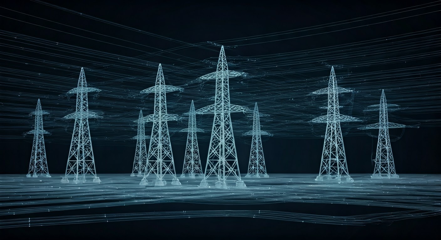
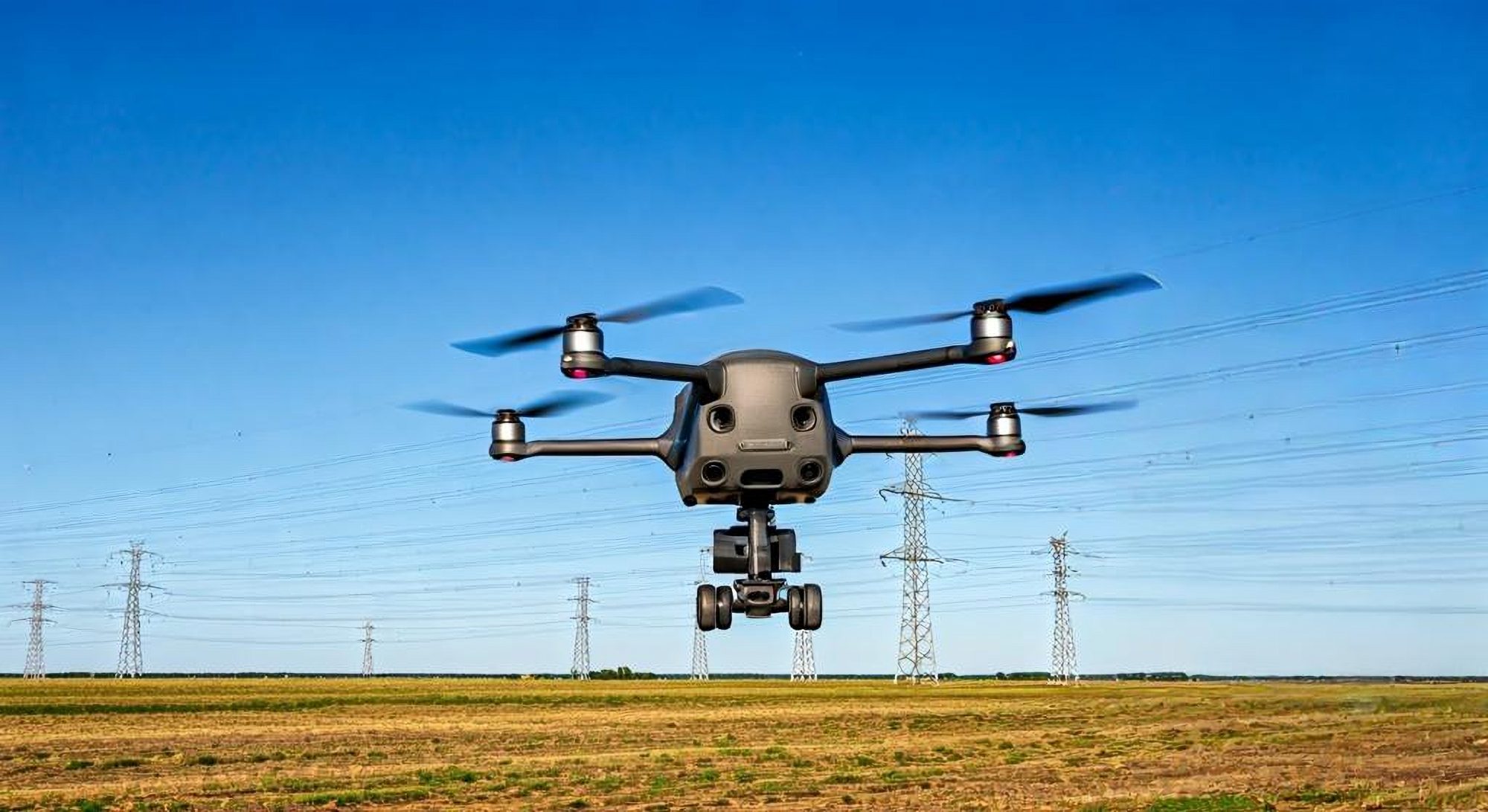
Technological advancements like remote sensing, automated asset inspection services, and digital twins are transforming how utilities monitor and maintain their networks. Drones equipped with AI algorithms offer real-time data collection, enhancing the efficiency of inspections and reducing the need for large on-site crews. Digital twins provide a comprehensive virtual replica of physical assets, enabling precise planning and predictive maintenance.
Embracing these advancements is essential for enhancing the resilience of power grids, ensuring they can withstand the growing impacts of climate change and continue to deliver reliable electricity to consumers worldwide.
We spoke to Sharper Shape’s James Conlin to find out more.
Given the increasing failure of power grids due to climate change, what specific vulnerabilities do you see in the current electricity networks globally?
We’ve constructed a vast and complex power grid over the last century, involving immense human effort in often uncontrolled environments. The current major challenge is cataloguing and chronicling the properties of this infrastructure as it exists today.
For example, power lines can be affected by various weather conditions, such as wind causing movement or heat causing expansion. These changes occur throughout the life cycle of the infrastructure. Therefore, understanding these dynamics is crucial. This is where technologies like remote sensing come into play. They help us monitor the proximity of lines to trees and simulate what happens under various conditions, such as thermal expansion due to load or weather forces like wind. Utilities often lack a comprehensive understanding of these power grid vulnerabilities, which makes this a significant challenge.
How can automated asset inspection services, such as drones and advanced tools, help improve the resiliency of power line infrastructure?
Resiliency is the ability of infrastructure to withstand extraordinary events. Utilities talk about both reliability, which is normal operation, and resilience, which is the ability to handle unusual stress like strong winds. Automated tools like drones and AI algorithms act as force multipliers. Instead of sending a crew of six with bucket trucks, which is costly and time-consuming, a drone can be operated by one or two people.
This allows for real-time data collection and streaming to platforms where qualified electrical workers can quickly review it. For about five years, this has been phase one of using drones and remote sensing. The exciting next step involves the automatic recognition of utility components within images. This means machines can identify and assess components like ceramic insulators without human intervention, speeding up the inspection and prioritisation process.
How do these new services compare to traditional methods?
Traditionally, a worker would drive to a pole, inspect it, and then move to the next one, potentially covering only a few poles per day. With drones and remote sensing, we can inspect many more poles in the same timeframe. For example, a single inspector might review data from 40 to 60 poles in a day. This approach also introduces new metrics, such as the number of clicks an inspector makes to review the data. Now, with tools like our asset insights, we can prioritise inspections based on the likelihood of faults, allowing for faster recognition and repair. This significantly accelerates the entire process from inspection to maintenance.
Can you explain the role that digital twin technology plays and how it can predict and prevent grid failures?
Digital twins are virtual replicas of physical assets. When constructing a factory, it makes perfect sense to build a digital twin first. This digital model allows for precise planning—every sensor, every piece of machinery, and every workspace is accounted for down to the millimetre. You can determine where each component will be placed and how they will interact.
However, the power grid, which was built over many decades, often lacks this level of documentation. Many utilities do not have accurate records of their infrastructure. They might know they paid a vendor to install a pole according to engineering specifications, but on-site adjustments—like using different insulators or splicing conductors due to shortages—often go undocumented. These discrepancies can lead to inefficiencies and increased vulnerability.
With a digital twin, utilities gain centralised storage and access to all geospatial content related to their network. This includes not just photographs but detailed metadata. For instance, when you take a photo with your phone, it records the exact latitude and longitude of where you are standing. Similarly, drones capture images of power lines and record the direction and angle of the camera, providing a wealth of data points. This means each image isn’t just a static picture but a precise piece of the overall puzzle. Utilities can then access a specific part of the network remotely, viewing detailed images and data down to the centimetre.
The creation of a digital twin involves capturing vast amounts of data. A helicopter flying over a transmission circuit might scan billions of points, each reflecting off surfaces to create a detailed 3D model of the infrastructure. This data isn’t just a collection of points; it’s classified and structured to identify specific components like transmission towers, braces, and lines. This allows for the creation of vector models that accurately represent the physical assets.
By structuring this data robustly, digital twins offer scalable solutions. For example, a project might involve 100 million high-resolution images, each tied to precise locations and points in space. These images, combined with point cloud data, enable utilities to correct outdated GIS data and create a comprehensive and accurate model of the entire network.
One of the significant advantages of digital twins is the ability to measure and control infrastructure remotely. Utilities often struggle with locating specific components, such as service drops or transformers connecting houses to the grid. With a digital twin, anyone can search for a pole number and instantly access all relevant images and data. This capability eliminates the need for on-site visits, saving time and resources.
What role does LIDAR data processing play in this context?
The most impressive aspect of LIDAR technology is its precision in capturing and mapping the real world. When discussing accuracy—whether empirical or absolute—LIDAR stands out. This technology collects points with extreme accuracy, each associated with specific X, Y, and Z coordinates and the exact time the laser hits the surface. However, for these points to be useful, they must be transformed and placed within a trusted coordinate reference system. This transformation often requires professional surveyors to ensure the data aligns accurately with the real-world coordinates.
LIDAR data and its processing are crucial for ensuring the absolute accuracy of digital twins. For instance, if we capture a utility pole using LIDAR, we can visualise and understand the infrastructure with remarkable precision.
Utilities can use this data to identify the species of wood used for poles, ensuring they meet engineering specifications. This level of detail is often unknown after the poles are installed, but LIDAR processing allows us to classify these points and rebuild them into detailed 3D meshes.
For example, if you want to know the top of a pole, you look for the point with the highest Z value. Similarly, the bottom of the pole has the lowest Z value. This data allows utilities to determine the lean of a pole by measuring the offset between the top and bottom.
We apply the same principles to wires, reconstructing them using our LIDAR processing pipeline. By measuring the lowest Z value of a wire from the ground, we can identify clearance violations, which are critical for safety and regulatory compliance.
How can predictive maintenance using these technologies reduce the risk of climate change-induced power grid outages?
Climate change is a significant concern affecting all of us, especially the younger generations, who will face its consequences throughout their lives. The future in 30 years is uncertain due to these ongoing environmental changes. In my experience working on helicopter jobs, I’ve seen firsthand the disruptions caused by climate change. For example, entire projects are halted for weeks because of wildfires in the areas we are working in.
Wildfires are influenced by numerous factors, many of which are related to utilities. For instance, a year with extreme weather fluctuations—where one year is particularly wet and the next is dry—results in substantial undergrowth that fuels even more intense fires. This situation is exacerbated by climate change and is genuinely tragic and challenging to discuss.
Ignoring the need to scan and monitor our utility networks is no longer an option. In the past, it might have been possible to overlook these issues, but today, climate change and its direct and indirect effects make that impossible.
Utilities face the challenge of expanding and maintaining their grids without additional funding for these increased operations. This is where remote sensing and digital twin technology become crucial. By using LIDAR and other imaging technologies to scan and monitor the grid, utilities can stay ahead of power grid vulnerabilities.
We are essentially sitting on a ticking time bomb, with the severity of potential accidents increasing due to climate change. By accurately measuring and controlling our infrastructure, we can at least mitigate some of the symptoms of these environmental challenges.
What are the main challenges utilities face when integrating these new technologies?
Humans are fascinating creatures, and as one myself, I notice we often stick to what we know best. This is evident in how we handle spreadsheets throughout our careers. We often abuse spreadsheets as if they were databases, only to panic when something inevitably goes wrong. This tendency to rely on familiar tools is widespread, especially in fields like utilities.
For example, utilities often pay vendors to meticulously name files, treating them like rigid databases. If a project requires deliverables such as a KMZ file, along with thousands of images, each named according to specific criteria, it creates a cumbersome and error-prone process. Handling large-scale projects in this manner becomes increasingly impractical.
The main issue with adopting new technologies often stems from traditional workplace values. When people arrive at their job sites, they feel they should already possess all the necessary knowledge. This mindset is even more pronounced among specialised workers, such as line workers with decades of experience. They may resist learning new methods, fearing it might undermine their expertise or appear unprofessional.
This resistance is significant in the utility sector. Utilities tend to build solutions in-house, aiming to capitalise on internal resources. However, this approach often leaves them lagging behind professional software engineers who can develop scalable systems. Desktop GIS platforms, for instance, can manage a substantial amount of data, but scaling up becomes challenging. Rendering 100,000 points or lines might seem manageable, but when dealing with 500,000 poles, each with multiple images and millions of data points, the complexity skyrockets.
Without retraining, utilities can’t effectively manage or build these systems. Budget constraints add to the challenge, making it difficult to address the myriad problems that arise. Humans are creatures of habit, often struggling to embrace new methods. This resistance, combined with a reluctance to adopt innovative software solutions, particularly in the utility sector, hinders progress. Embracing new technologies and retraining workers can significantly improve efficiency and scalability, ultimately leading to better outcomes.