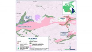
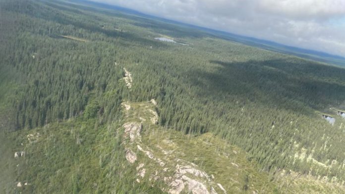
Oceana Lithium Limited has announced that field exploration work is now underway at the Monaro Lithium Project in James Bay, Quebec.
Experience contractor, Explo-Logik, has mobilised at the Mirage Outfitter camp to conduct the inaugural field exploration work over the Monaro project area.
The programme consists of mapping, prospecting, rock, till, and soil sampling with onsite XRF analyses for key LCT pegmatite pathfinder elements.
Over 60 locations will be sampled by the exploration team
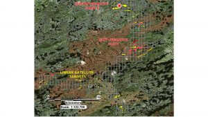
The company has identified numerous geological features, magnetic structures, and visual linear pegmatite targets from high resolution satellite imagery and remote sensing techniques. These targets will be the immediate focus of the field team.

The team includes Oceana’s Senior Exploration Manager and experienced lithium explorationist, James Abson, and in-country senior geologist, Uwe Naeher. The Explo-Logik crews include two experienced geologists assisted by four support field technicians working on a rotational basis.
The team plans to sample over 60 locations. These samples will be sent to ALS in Val-d’Or, Québec, for analysis.
Field exploration work is expected to continue until mid to late September.
Data from the Monaro project has been acquired and analysed
Sentinel 2 visible/near infrared (VNIR), shortwave infrared (SWIR), and Aster Multispectral and Synthetic Aperture Radar (SAR) data have been acquired for the field exploration work of the Monaro project area. This data has been analysed.

Specific analysis of the emission spectra with a focus on dihydrogen or helium, has generated targets. This could be indicative of the mineral zeolite, common in pegmatites, and cookeite, a weathering product of the lithium mineral lepidolite.
26 spectral targets, excluding four targets previously reported, have been generated from these data sets.
This method has been applied with great success in lithium exploration in Western Australia.
High-resolution satellite imagery has been purchased
Oceana has purchased high resolution PNEO 30cm 6-Band satellite imagery for the tenement area.
A LiDAR survey contractor has also been appointed to gather additional high resolution topography data and imagery to further assist pegmatite identification and accurate delineation.


