Chris Emery, Vice President of Senceive Ltd, explains how they are making remote risk monitoring of mines more effective by combining sensors and what benefits this brings.
The old adage ‘if you can measure it, you can manage it’ is very applicable in the mining sector. Decision-makers are embracing a whole family of data collection and processing technologies to deliver the information they need. Internet of Things (IoT) technologies, such as wireless remote monitoring, are helping to mitigate risk and improve asset management.
Managing processes to improve mining risk management and productivity is subject to a large number of complex and varied factors. IoT remote monitoring technologies are becoming increasingly well-suited to handle these complex challenges, offering a range of benefits that improve safety, efficiency, and productivity. Some of the key applications adopted across the sector include:
• Reducing human exposure to danger by deploying sensors in hazardous areas or automating tasks that could put mine workers at risk.
• Autonomous operations: Remotely controlled and even fully autonomous vehicles and equipment can operate 24/7, improving productivity and margins.
• Predictive maintenance: Sensors can continuously monitor equipment health, enabling proactive maintenance and preventing costly downtime.
A number of threads run through this trend: IoT hardware tends to be smaller and simpler to use than traditional technologies, typically costs less, and can often enable remote access to numerous data streams of varying types that can be combined to deliver more than the sum of their parts.
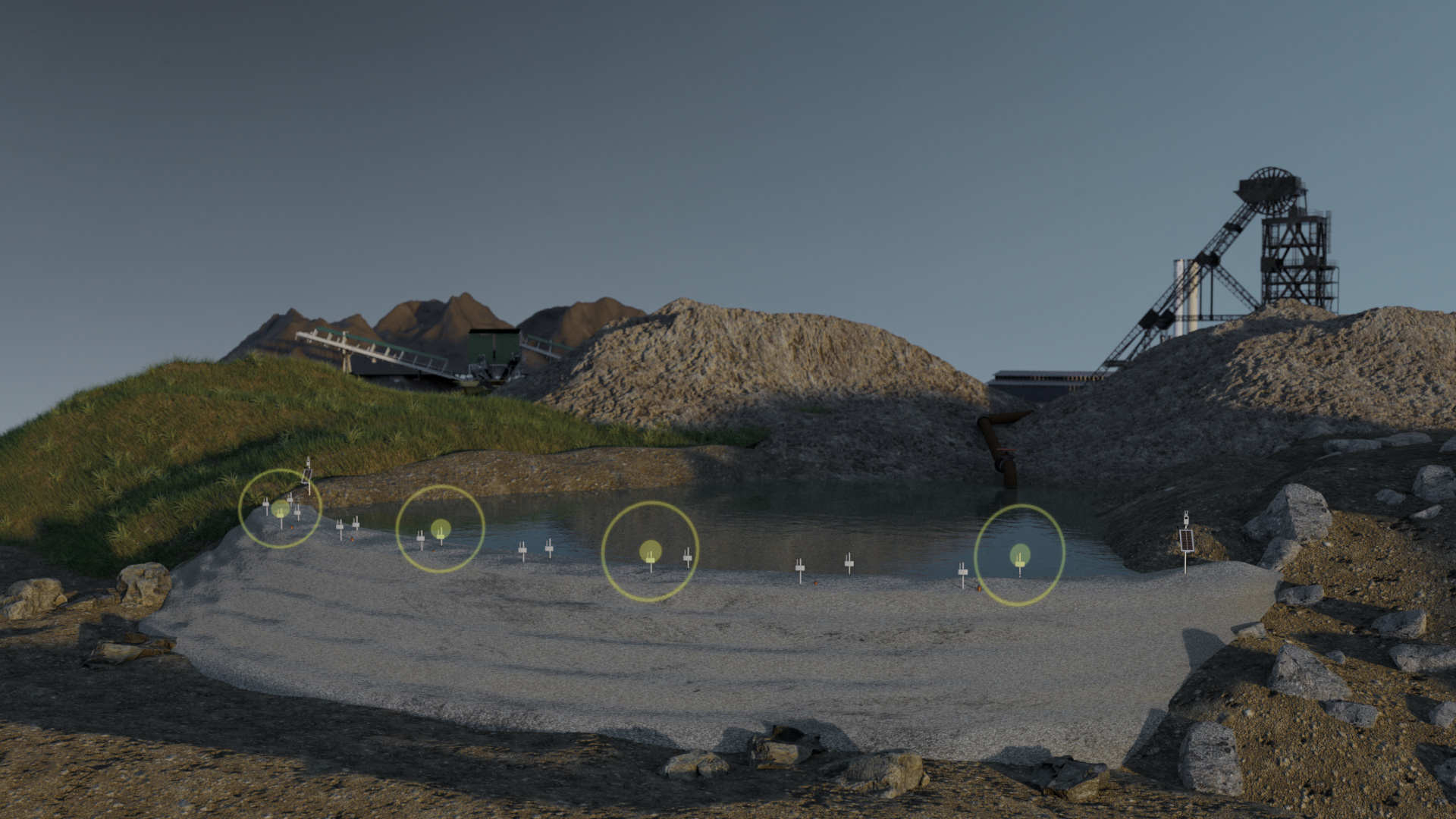
Wireless remote condition monitoring of geotechnical and structural assets is a rapidly growing example of this shift in the way data is gathered and managed. A typical wireless monitoring system comprises three main elements. Firstly, there are sensors, such as triaxial tilt sensor nodes, which detect surface movement with a high degree of precision, and borehole instruments, such as piezometers and inclinometers, which characterise groundwater and deformation, respectively. Secondly, there is a communications hub or gateway which transmits the data to remote users. Thirdly, there is an online data portal which enables authorised stakeholders to access the data and interact with the system.
Geotechnical monitoring
The cost of geotechnical failures can be considerable in terms of financial, safety and environmental impact.
Ground failure events such as the collapse of steep slopes in open pit mines, landslides on dumps, and breaches of tailings dams are seldom caused by one factor. They are generally caused by the interaction of numerous factors, such as geological structure, water movement, and the presence of unstable or low-friction layers. Because there are usually multiple causal factors, it is vital to measure multiple parameters.
A good example of this is the study of ground deformation and slope risk using a combination of remote sensing technologies such as satellite INSAR and geotechnical instruments such as wireless tilt sensors. Working in this way, geologists or mine engineers can assess the big picture generated by INSAR to select the most relevant places to target in situ measurement technologies. When used in isolation, remote sensing is typically strong in spatial sampling but weak in terms of the frequency of updates and resolution. In contrast, data from in situ methods such as wireless monitoring relates to just a single point in space but can generate virtually real-time data (sub-minute reporting frequency is quite common). The combination, therefore, provides a methodology that is robust in terms of both spatial and temporal sampling.
Structural monitoring
Mine productivity and safety rely on the dependable performance of processing facilities, haul roads, railways and other infrastructure. Wireless monitoring instrumentation’s flexibility, small size, and robust quality make it ideal for monitoring the performance of these crucial structures. Recent mining applications for Senceive have included bridge monitoring in West Africa, rail track geometry monitoring in Australia, and material storage structures in South Africa.
Why combining sensors makes sense
Data collection automation is crucial if mine operators are to reap the benefits of smart monitoring solutions and digitisation.
Some sensors, such as analogue piezometers and inclinometers, require manual downloads, which constrains sampling and reporting frequency. Wireless remote monitoring systems, on the other hand, are fully automated and need little maintenance over their ultra-long (potentially >10 year) lives. These systems are most often used with tilt sensors, which provide precise measurements of structural or ground surface movement. Recent innovations such as the Digital Interface Node introduced by Senceive enable users to bring many more third-party sensor types into the wireless landscape, with all its advantages, such as continuous data, automated alerts and remote access. The Digital Interface Node can connect to a wide range of geotechnical, structural and environmental instruments and sensors, provided they feature a digital output. These can be as diverse as weather stations, borehole piezometers to assess changes in groundwater pore pressure and borehole inclinometers to characterise the lateral ground movement. In most applications, it is configured to transmit data to the user via the cellular network.
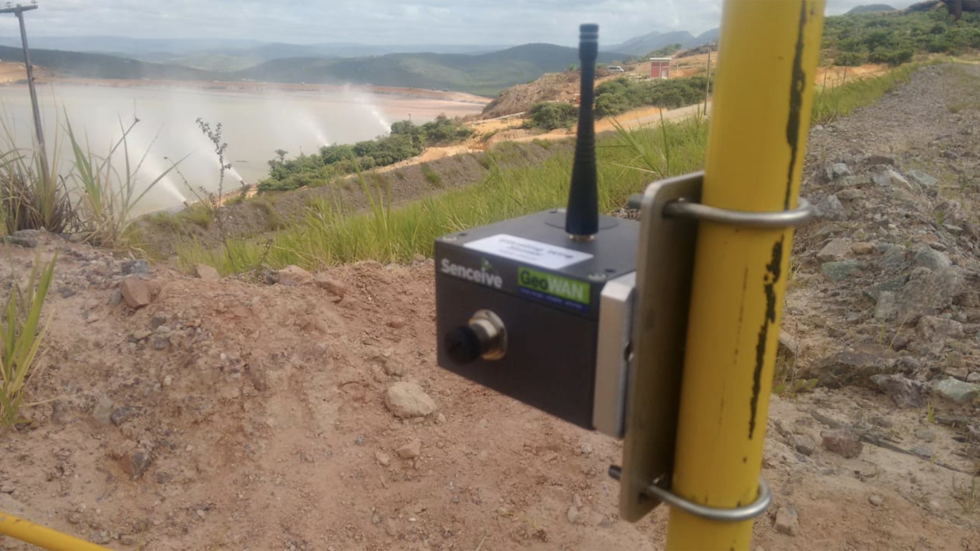
Combining the capabilities of the Digital Interface Node with other wireless sensors such as tilt meter nodes and cellular cameras allows geologists and mine operators to detect and simultaneously assess events such as shallow ground deformation, changes in water content, and instability of soil and rock much deeper below the surface. This can be essential to assess the safety of critical mine assets such as storage dumps and tailings dams because failure mechanisms such as slip planes can develop unseen deep within the structure, often taking months or years before causing a sudden collapse. Some experts (such as the team led by landslide specialist Alexander Puzrin) believe this type of delayed slip mechanism led to the catastrophic failure of the Brumadinho dam in 2019, causing the death of at least 290 people.
In other cases, we have seen failures where surface deformation measured by tilt meters has been evident in the form of gradual creep or a series of small steps but with no indication of an underlying problem. This highlights the importance of combining subsurface geotechnical monitoring with surface deformation monitoring.
New IoT devices like Senceive’s Digital Interface Node make this much more achievable because they enable co-ordinated, automated logging of borehole instruments such as in-place-inclinometers (IPIs), extensometers, and piezometers with surface sensors such as wireless tilt nodes.
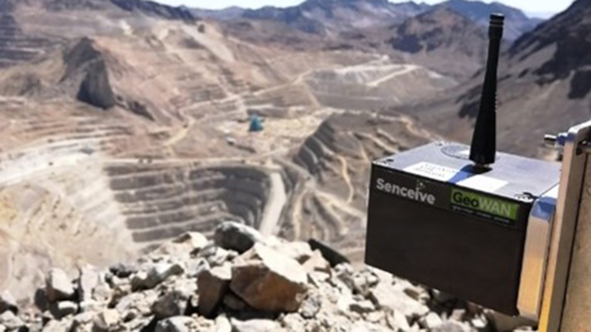
Reaching beyond cellular coverage
Most wireless monitoring systems depend on reliable cellular data coverage. However, this coverage is not universally available at some mine sites and is even less dependable at associated mine-related infrastructure such as haulage railroads. That’s why Senceive developers have recently introduced a SatComms option enabling reliable communication between the site and the user, regardless of the strength of the cellular signal.
In conclusion, the growing range of IoT sensors and the associated data processing and visualisation technologies are paving the way to safer, more productive mining, more robust risk management, and smarter preventative maintenance.
Please note, this article will also appear in the 19th edition of our quarterly publication.