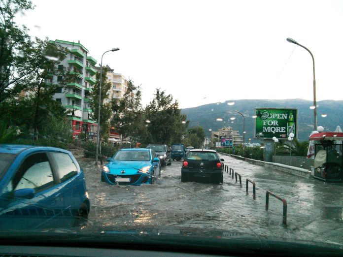
Flash flooding, one of the most dangerous natural disasters, has long posed a significant threat to communities around the globe.
Now, a groundbreaking study led by an international team of climate scientists promises to transform our ability to predict these life-threatening extreme weather events more accurately, offering a crucial window of time for communities to prepare and mitigate damage.
Researchers from the Met Office and Newcastle University, in collaboration with the Universidad de Costa Rica and Adam Mickiewicz University in Poland, have unveiled a new approach to predicting extreme rainfall—a key driver of flash flooding.
The research reveals that intense, localised downpours are often triggered by a rapid rise of air through clouds, a process that can now be forecast with greater precision.
The study marks a significant departure from previous methods, thanks to a cutting-edge modelling system that accurately identifies the atmospheric conditions leading to short-duration, heavy rainfall events.
This new model could enhance early warning systems for flooding, providing essential lead time for communities vulnerable to extreme weather.
The dangers of flash flooding
Flash flooding poses a significant and immediate threat to life and property, often occurring with little to no warning.
These events can transform a calm river into a deadly torrent within minutes, catching people off guard and leading to tragic consequences.
Recent incidents, such as the catastrophic flash flooding in London in August 2022, highlight the urgent need for better prediction and preparedness.

In 2004, the village of Boscastle in Cornwall, UK, was devastated by a flash flood that saw 75 cars washed away and millions of pounds in damage.
These examples underscore the importance of timely and accurate warnings in preventing loss of life and reducing the economic toll of such disasters.
The science behind the model
At the heart of this breakthrough is the discovery of a unique three-layered atmospheric structure crucial to understanding and predicting extreme rainfall.
According to Paul Davies, the study’s lead author and a Met Office Principal Fellow, this structure consists of Moist Absolute Unstable Layers (MAULs) sandwiched between a stable upper layer and a near-stable lower layer.
This finding represents a ‘paradigm shift’ in our understanding of how extreme rainfall events develop.
By focusing on the thermodynamics of sub-hourly rainfall production, the research team has identified key atmospheric properties that can help forecasters predict these events with greater accuracy, potentially saving lives in the process.
Davies believes the model will have significant impacts in the UK and globally: “The new model is aimed at enhancing the UK’s resilience to extreme weather events, which are becoming more frequent and intense due to climate change.
“This approach addresses the urgent need for improved prediction capabilities and will help both UK and global communities in mitigating the risks associated with increasingly extreme weather events.”
The need for accurate flash flooding early warning systems
As climate change continues to exacerbate the frequency and intensity of extreme weather events, the importance of accurate early warning systems cannot be overstated.
Professor Hayley Fowler, a co-author of the study and an expert on climate change impacts at Newcastle University, emphasised the critical need for these systems, particularly in light of the United Nations’ call for ‘Early Warnings for All’ by 2027.
“With human-induced climate change leading to more extreme weather conditions, the need for accurate early warning systems is more critical now than ever before,” Fowler stated.
The new model developed by the research team has the potential to become an operational system that aligns with the UN’s goals, helping to deliver timely warnings to vulnerable populations worldwide.
Implementing new warning systems
The innovative model developed by the research team could revolutionise how we approach flash flood warnings.
By improving our understanding of the atmospheric conditions that lead to extreme rainfall, this new system can enhance the accuracy of forecasts, giving communities more time to take action.
The potential benefits are clear: better prediction of flash flooding could lead to more lives saved, less damage to infrastructure, and greater overall resilience to extreme weather events.
As climate change continues to influence weather patterns, the adoption of such advanced forecasting tools will be crucial in protecting communities from the increasing threat of flash flooding.


